WORLD CLASS MOBILE SURVEYING PRODUCTS AND SERVICES
| Support |
| Systems Integration Support | |||
|
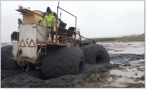
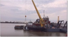
With over five decades of combined experience in the onshore
and offshore survey services business, iLinks have played a
key role in the design and implementation of innumerable
hydrographic and topographic survey projects using a wide
range of precise positioning, motion sensing, SONAR and
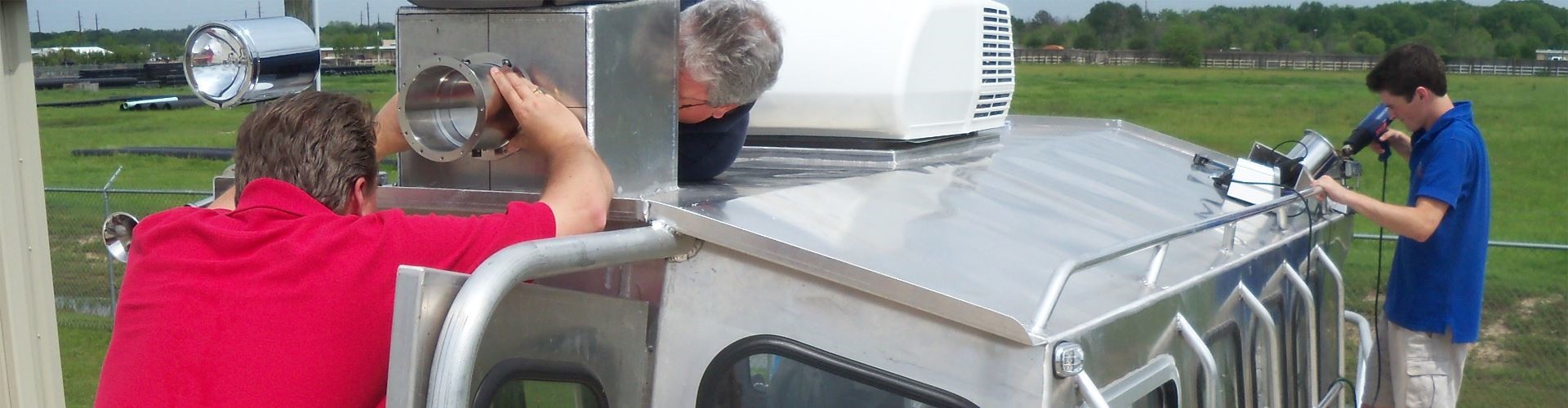
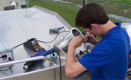
LiDAR systems. We have successfully integrated, calibrated and operated literally hundreds of offshore positioning and survey systems, of various configurations and complexity, using the very latest technology available. iLinks also provide operator training during the mobilisation, commissioning and calibration phases of your project. |
 |
||
 |
SYSTEMS INTEGRATION SERVICES | ||
|
|||
|
|
|||
| Field Operations Support | |||
| iLinks provide 24/7 field operations support for all of their mobile mapping products, including their own InteLAS™ range of products and the Renishaw Dynascan range of products. In addition to supporting the mobile LiDAR hardware, support for HYPACK and QINSy software, VRS services and RTK base stations is provided around the clock. | |||
| iLinks 24/7 SUPPORT SERVICES |
 |
||
|
|||
|
|
|
||
| iLinks Knowledge Base | |||
 |
 |
 |
 |
| SOFTWARE LIBRARY | TECHNICAL LIBRARY | BROCHURES | PRESENTATIONS |
 |
 |
 |
 |
| IMAGE GALLERY | VIDEO VAULT | DATA ARCHIVE | NEWSLETTERS |