iLinks provides combined
hydrographic and topographic surveying services tailored
specifically to help manage, protect, and utilize our valuable
coastal resources .
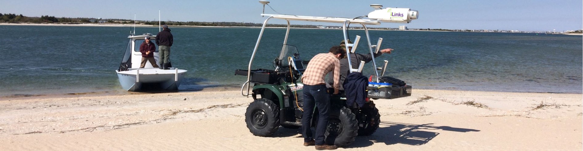
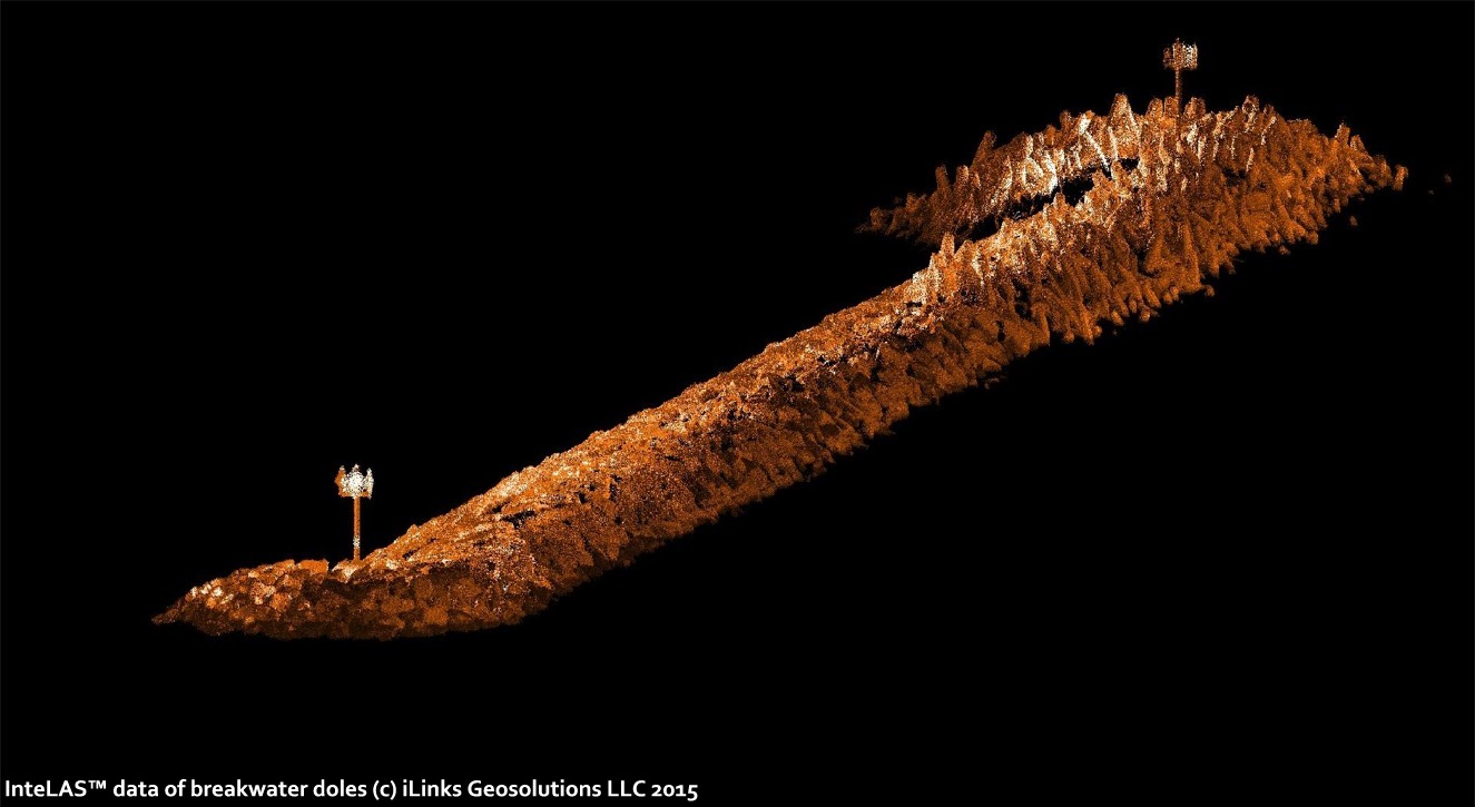
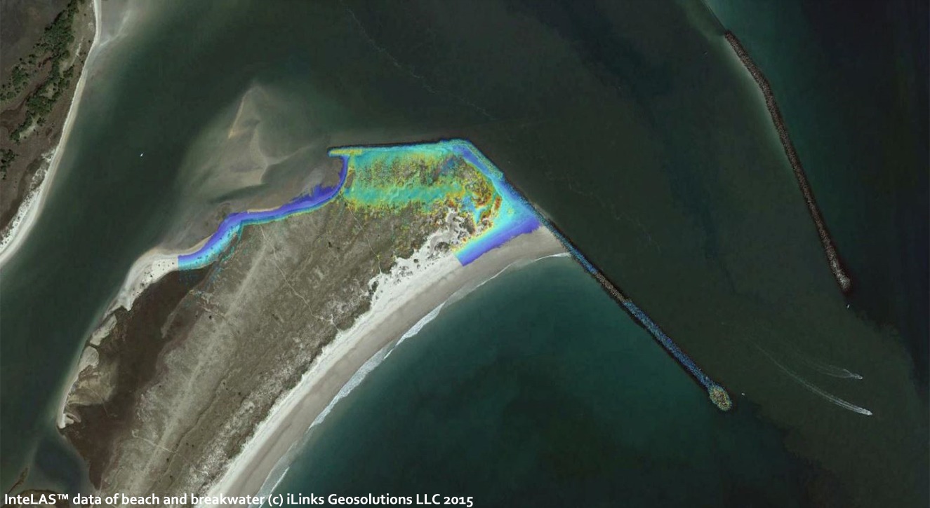
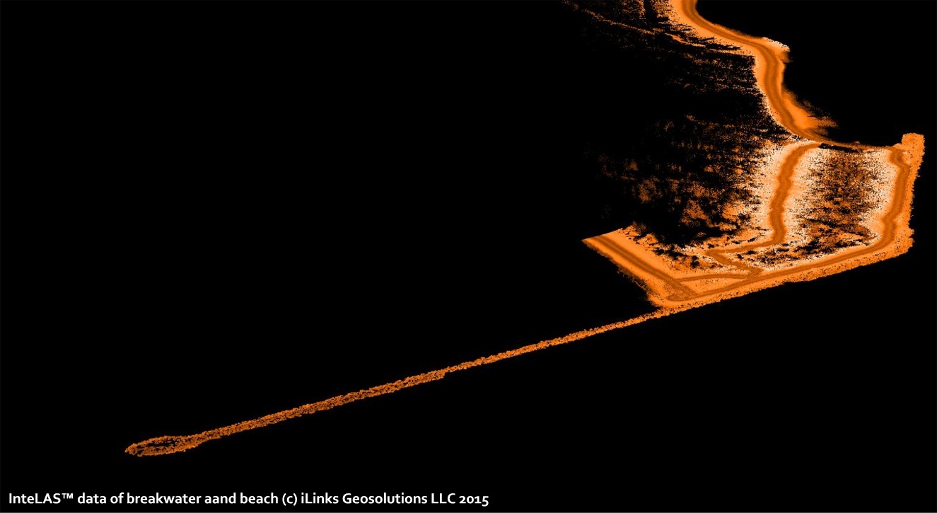
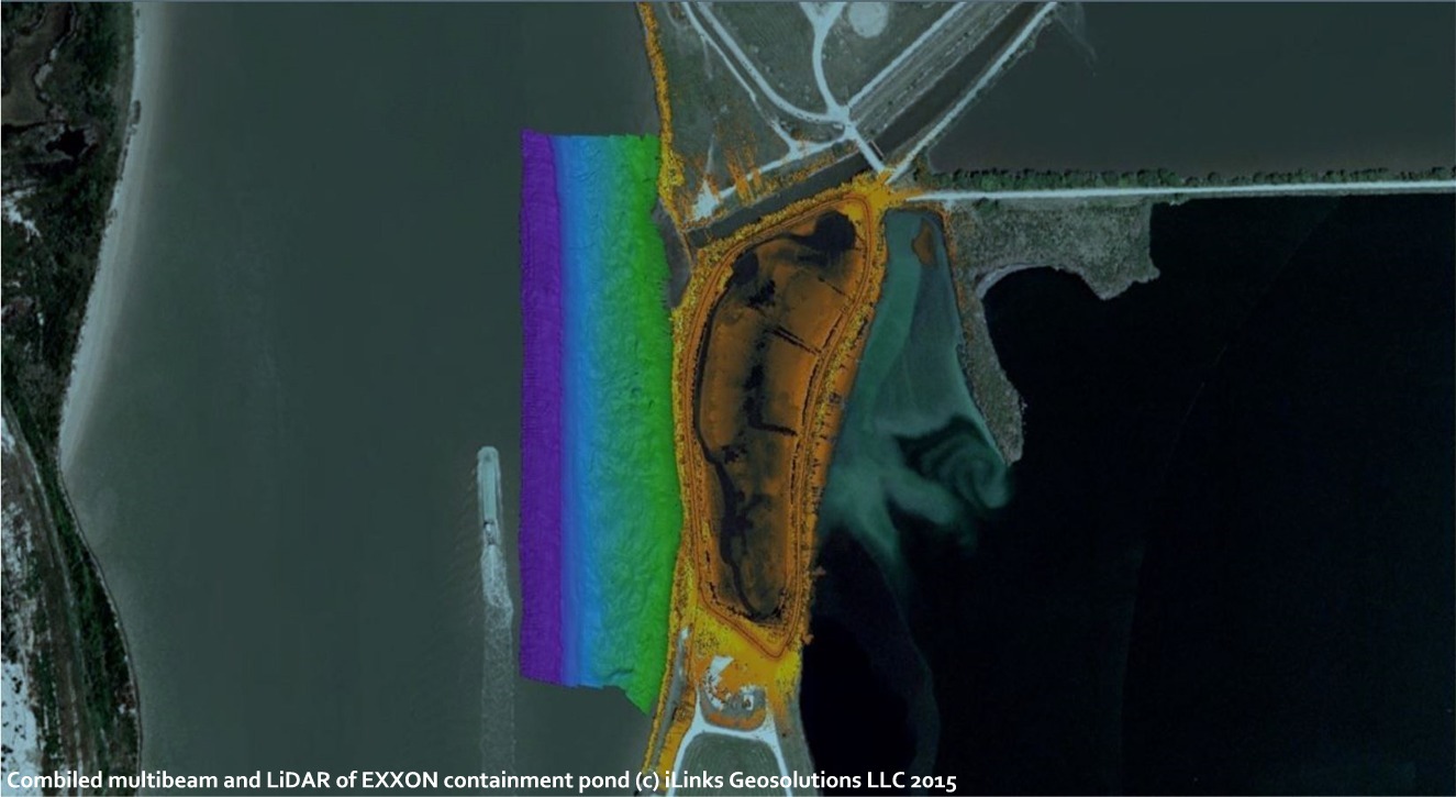
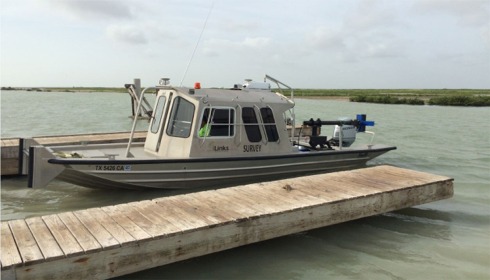
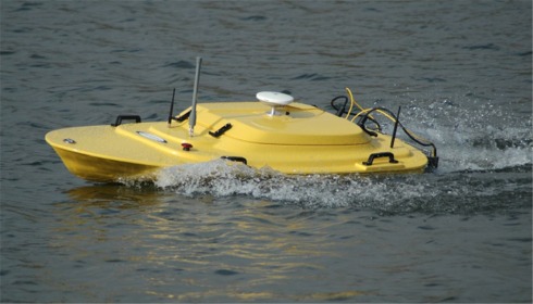
iLinks have developped their Rapid
Deployment Survey Vessels (RDSV) for the specific purpose of
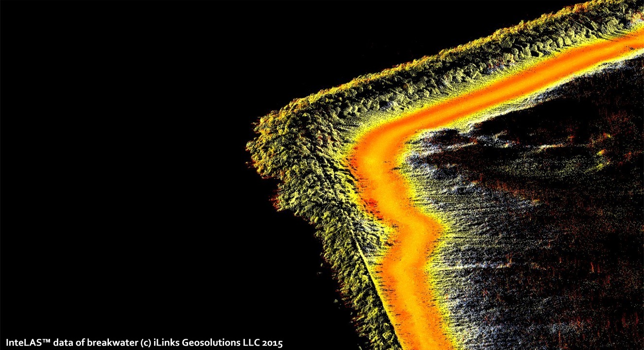
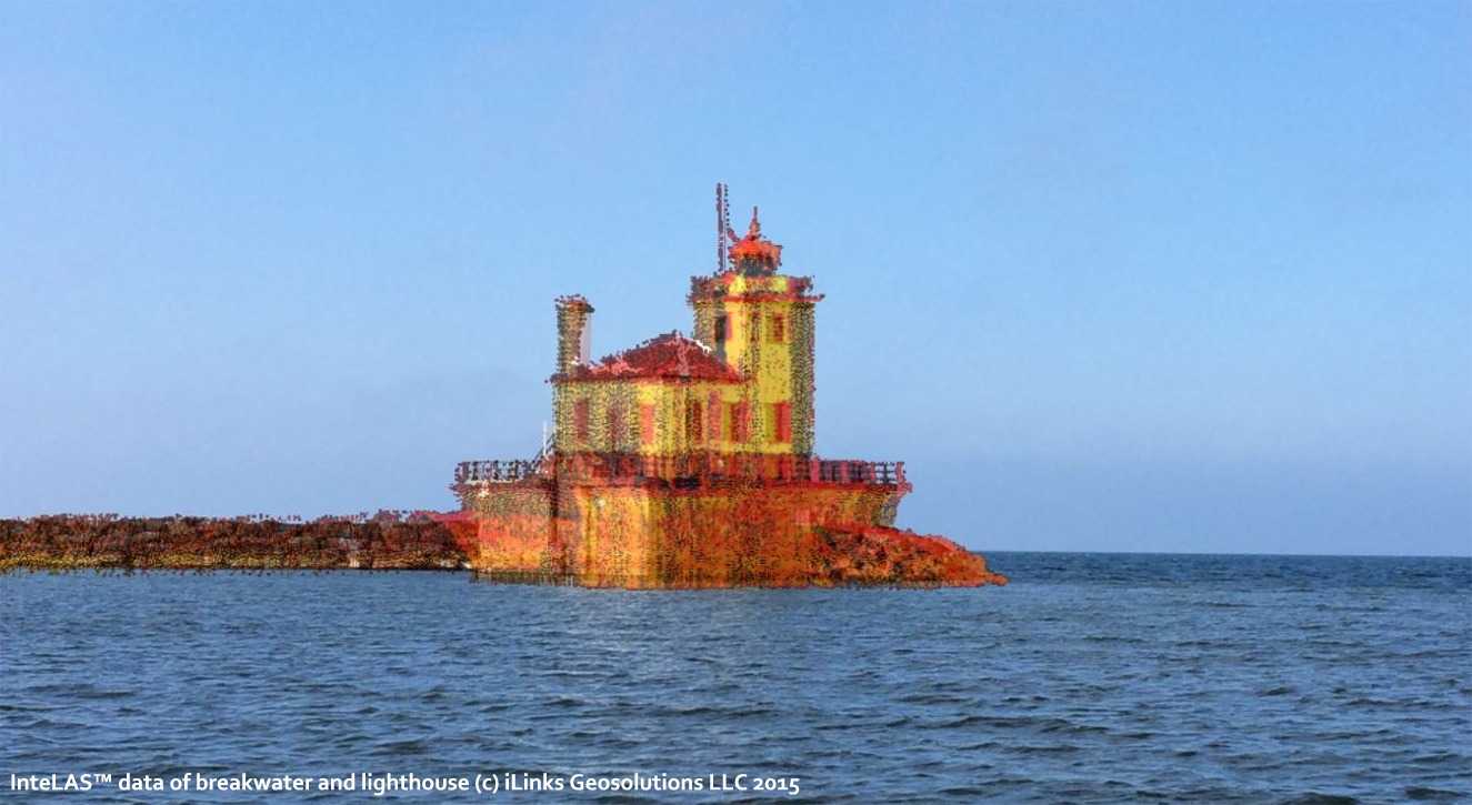
producing real-time high definition 3D geospatial models of the
above and below the waterline scene. The unique design of the
RDMV, and it's ability to pan and tilt its survey sensors,
allows 3D data to be collected from depths of up to 500 m, all
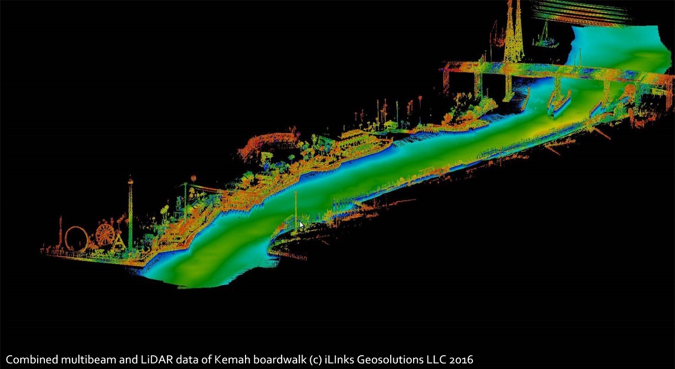
the way up to the waterline. The RDSV onboard LiDAR collects the
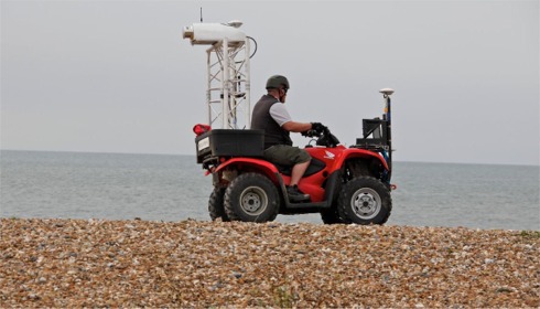
3D data from the waterline up to 250m inland, generating a
seamless 360° field of view 3D model. If data
is required further inland, the RDSV LiDAR system can be removed
from the vessel in minutes and mounted on an ATV or similar
mobile platform.
Our Coastal Management survey services include, but are not
limited to; |