WORLD CLASS MOBILE SURVEYING PRODUCTS AND SERVICES
| Ports and Harbors |
| Surveying ports and harbors
is more than just producing bathymetric charts for the
navigation and safe passage of ships, there are enviromental,
dissaster recovery, flood mitigation, safety and a multitude of
other considerations. iLinks developped their Rapid Deployment Survey Vessels (RDSV) for the specific purpose of producing high definition 3D geospatial models of the above and below the waterline condition of port and harbor infrastructure as efficiently and cost effectively as possible. Since their introduction in 2010, iLinks RDSV's have completed numerous projects in ports and harbors around the USA and beyond. "Our Port and Harbor services include, but are not limited to:" |
|||
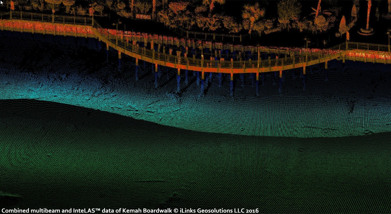
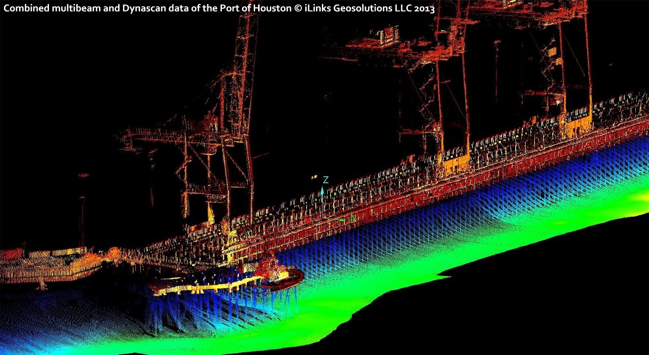
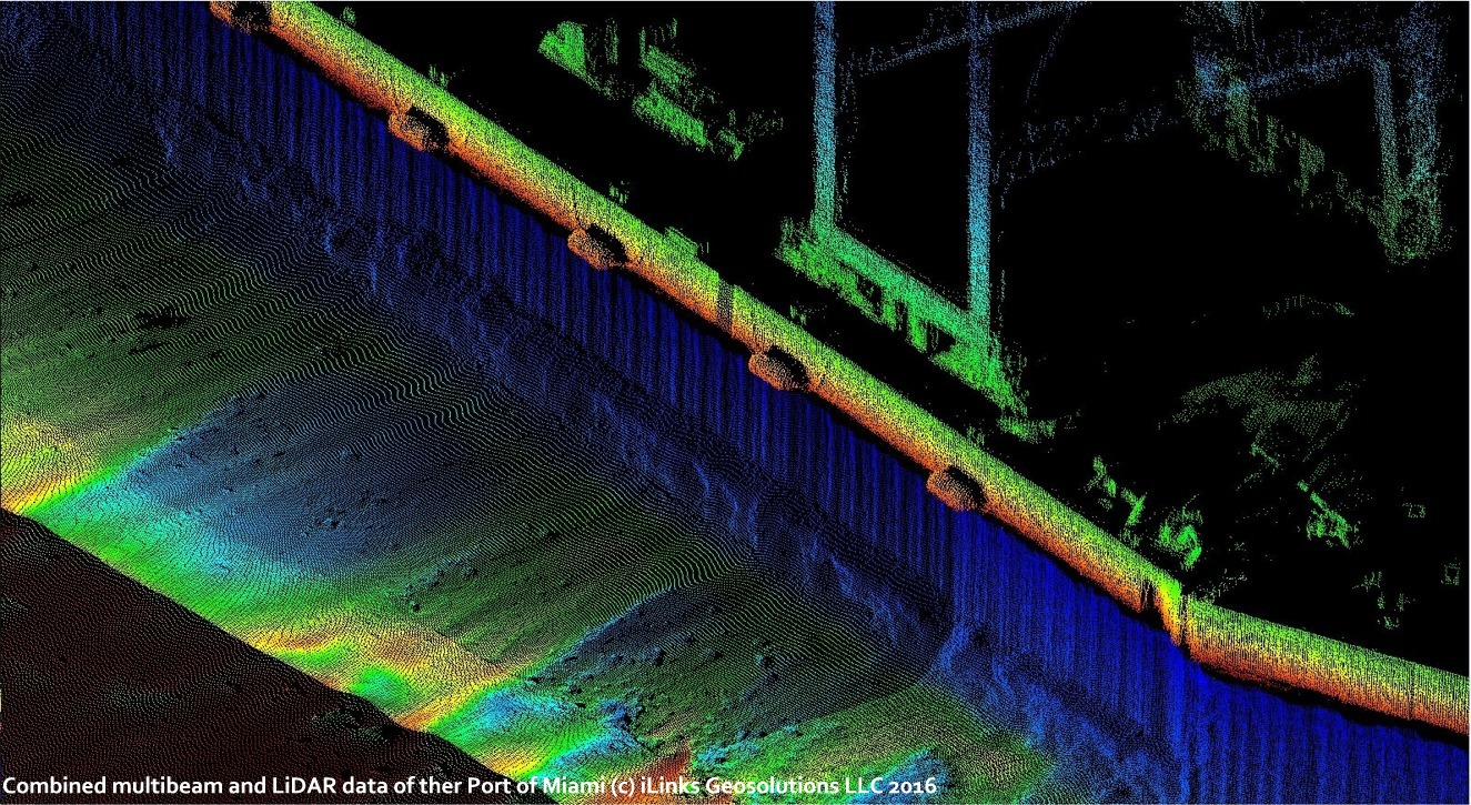
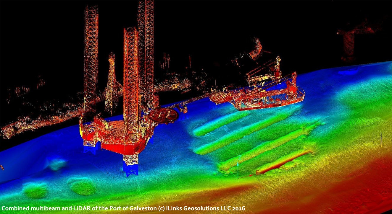
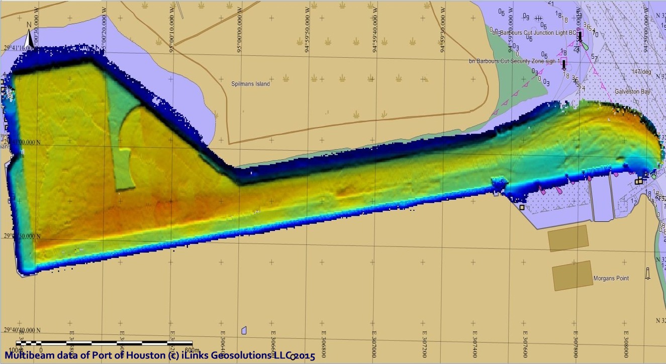
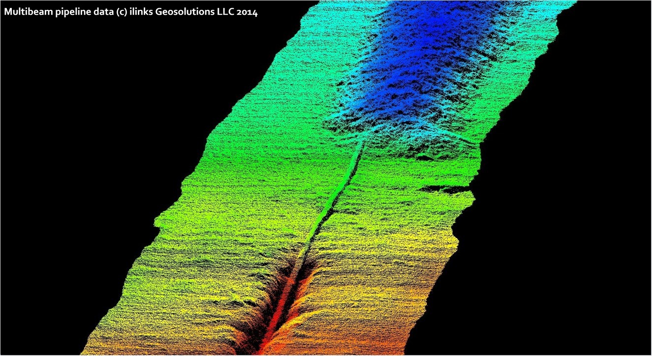
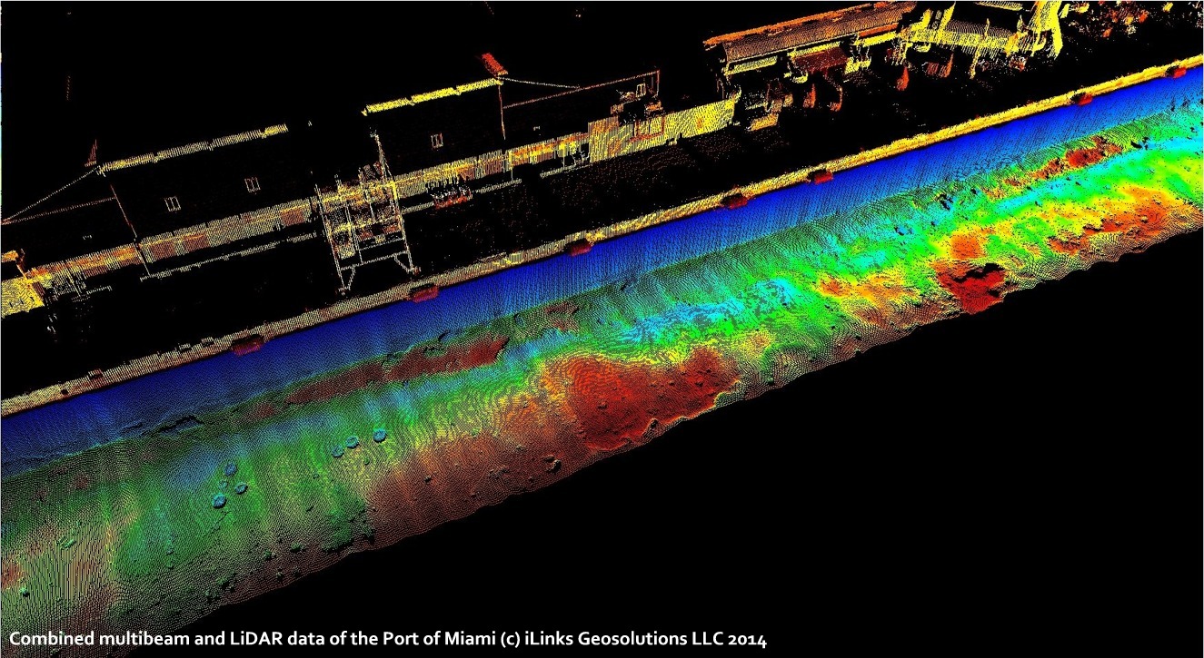
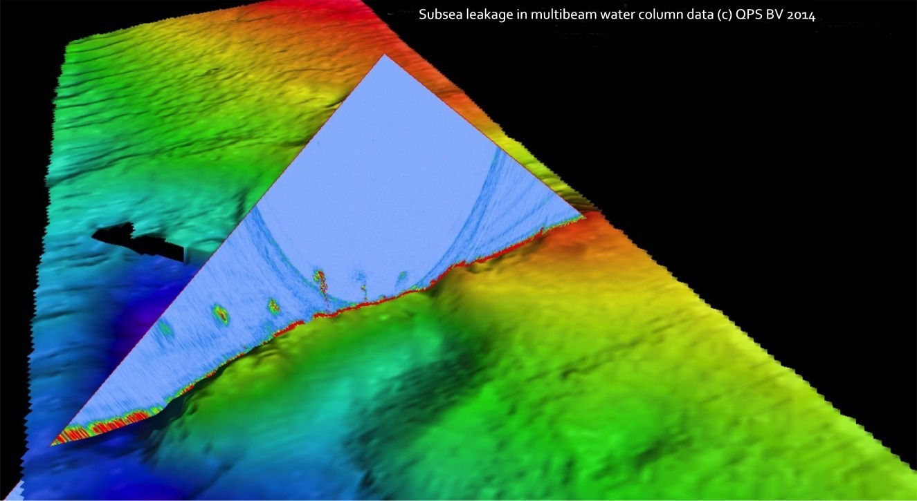
| Example data from iLinks Port and Harbor surveys | |||
 |
 |
 |
 |
| Click on image to enlarge | Click on image to enlarge | Click on image to enlarge | Click on image to enlarge |
 |
 |
 |
 |
| Click on image to enlarge | Click on image to enlarge | Click on image to enlarge | Click on image to enlarge |
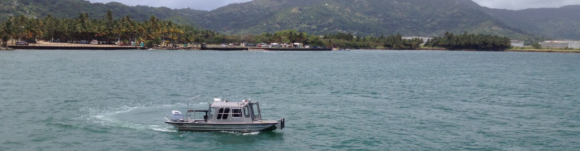
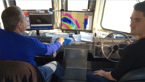
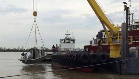
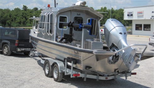
| Rapid Deployment Survey Vessel - RDSV | |||
| iLinks own and operate ‘Rapid Deployment Survey Vessels’ (RDSV) which have been designed and built specifically to produce high resolution 3D Bathymetry, Side-Scan SONAR, Water Column and LiDAR data, in real-time, and with little or no post processing. The RDSV offers a number of advantages over conventional inshore survey vessels, namely; |
|
|
 |
||
 |
 |
||
|
|
|
|
|